By Kevin Spear, Orlando Sentinel
ORLANDO, Fla. — Starting this year, national hurricane forecasters will issue maps showing where there’s potential for storm-driven seawater to charge miles inland to flood streets, knock down homes and kill people.
The new online map will appear on the center’s website when a watch is announced for a hurricane and for some tropical storms.
It is being showcased this week at the National Hurricane Conference in Orlando as an overdue service only now having the technology to perform reliably despite the variable nature of hurricane season from June 1 to Nov. 30.
“It has to perform well under all conditions,” said Jamie Rhome, storm surge team leader at the National Hurricane Center. “It can’t perform well in one storm and not the next storm.”
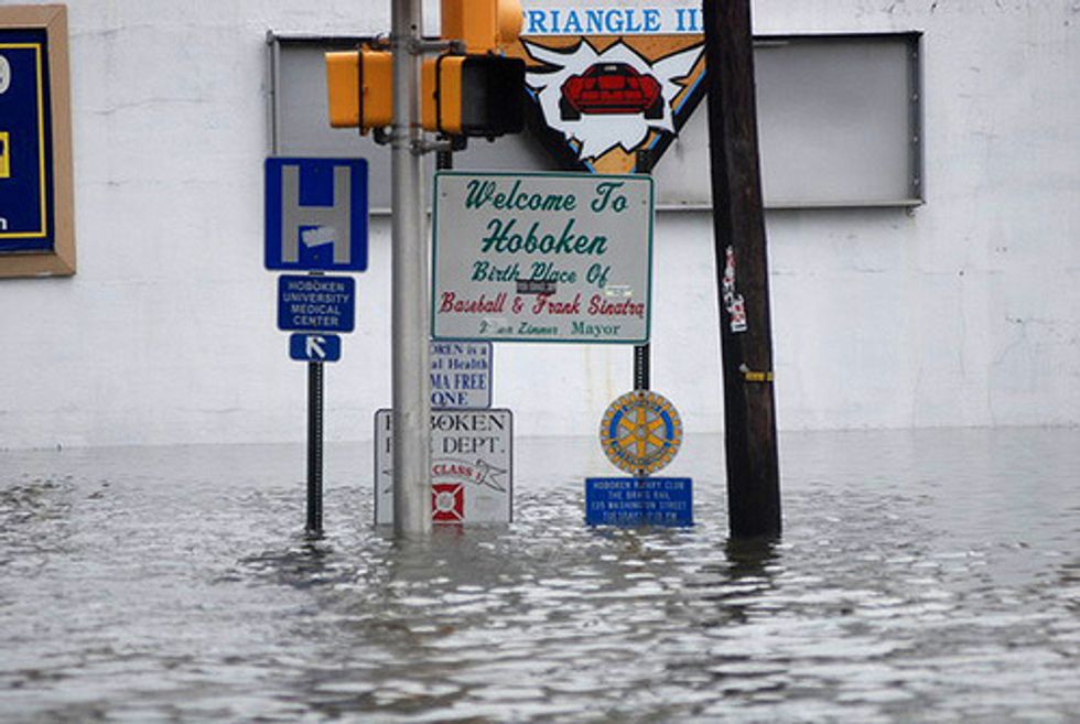
Storm surge is the seawater pushed by a hurricane against a coastline, providing a liquid runway for battering waves to demolish beaches, bridges, buildings and, in the worst cases, nearly any recognizable part of a community.
As with other aspects of hurricanes, predicting a surge of seawater is complex and depends on a storm’s intensity, speed, size, angle of approach to the coast and coastal characteristics.
Using a color key, red would represent areas expected to be covered with more than nine feet of water above the ground; orange would indicate a depth of six feet or more; yellow would show inundation of at least three feet; and blue would indicate up to three feet.
It’s meant to be a visual showing of where to expect a hurricane’s greatest threat to people and their property. But in 2015, the center will also issue warnings, indicating in blunt terms where seawater could cause death and destruction.
“A warning is the National Weather Service’s most explicit way of communicating life-threatening flooding,” Rhome said. “We are saying if you are in this warning area, you need to take action immediately to protect your life.”
Though all of Florida is vulnerable, conditions along the state’s west coast could help propel a storm surge 30 to 40 miles inland, particularly along rivers.
The primary factor that makes the Gulf of Mexico coast conducive to fearsome surges is the shallow water that extends for many miles into the gulf.
Less vulnerable is a portion of Southeast Florida, where the seafloor has a sharper drop-off that can inhibit storm surge.
Emergency responders at the conference welcomed the new online tool, though it has not yet shown what it can do in action.
Michael Whitehead, mass care coordinator with the Florida Department of Business & Professional Regulation, said hurricanes have the multiple threats of wind, tornadoes, flooding and storm surge.
“Saying that a hurricane is going to be Category 4, for example, doesn’t tell you what the hazards will be,” Whitehead said.
Eric Flowers, spokesman for the Indian River County Sheriff’s Office, hadn’t yet heard much about the storm-surge map but predicted it would make a difference.
“If it gets more information to the public, that’s fantastic,” Flowers said.
Rhome said Florida’s west coast is little familiar with storm surge. The last bad one was nearly a century ago, he said.
Experience elsewhere in the state includes Hurricane Frances, which hit Florida’s Treasure Coast in 2004 and smashed inland marinas in Fort Pierce into piles of splintered docks and wrecked boats.
Weeks later, Hurricane Ivan flooded downtown Pensacola with storm surge that also savaged many communities on barrier islands along the western Panhandle.
A year later, Hurricane Dennis shocked coastal residents south of Tallahassee when as much as 9 feet of storm surge pushed well inland, though the storm itself struck land far to the west.
Elsewhere in the nation, storm surge from Hurricane Katrina in 2005 wiped out communities in Mississippi with 25 to 28 feet of onrushing seawater.
Rhome said the surge maps will be informative, but coastal residents need to know their neighborhood’s designated storm-surge evacuation zone, which is ranked from the most vulnerable A zones through the least vulnerable E zones.
The “public” tab at floridadisaster.org is one way to learn about evacuation zones.
“I’d have to say that 10 percent of the population knows their evacuation zone, which is way too low,” Rhome said. “How could you possibly know what action to take in a hurricane if you do not know your evacuation zone?”
Photo: acccarrino via Flickr


