Hurricane Cristobal Racing North To Die

Hurricane Cristobal Racing North To Die

By Ken Kaye, Sun Sentinel

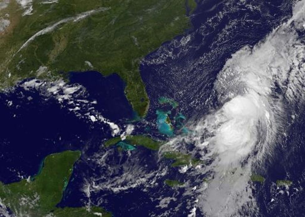
Now racing north into the Atlantic, Cristobal is expected to fall apart over the next day.

The National Hurricane Center continues to monitor three other disturbances, one in the Caribbean, another expected to move off the coast of Africa on Friday, and the third in the northern Gulf of Mexico.

Large swells continue to wash ashore from the Carolinas to New England in Cristobal’s wake. The system’s projected path is aiming toward Iceland. Potentially, it could bring some rain to the island.

As of 8 a.m. Thursday, Cristobal was 305 miles northwest of Bermdua, moving Northeast at 26 mph, with wind speeds of 75 mph.

OTHER SYSTEMS: The wave coming off Africa for now looks like it has the best chance of becoming the next storm. If so, it would be named Dolly. It’s too early to say where it might go.

The disturbance in the Caribbean appears to be headed toward Mexico’s Yucatan or the Gulf of Mexico. The area in the Gulf likely will move over land before it has a chance to develop.

AFP Photo

Interested in world news? Sign up for our daily email newsletter!

Efforts To Restore Florida’s Coral Reefs Get A High-Tech Boost

Efforts To Restore Florida’s Coral Reefs Get A High-Tech Boost

By Ken Kaye, Sun Sentinel

FORT LAUDERDALE, Fla. — South Florida’s coral reefs are about to get Google-mapped, sort of.

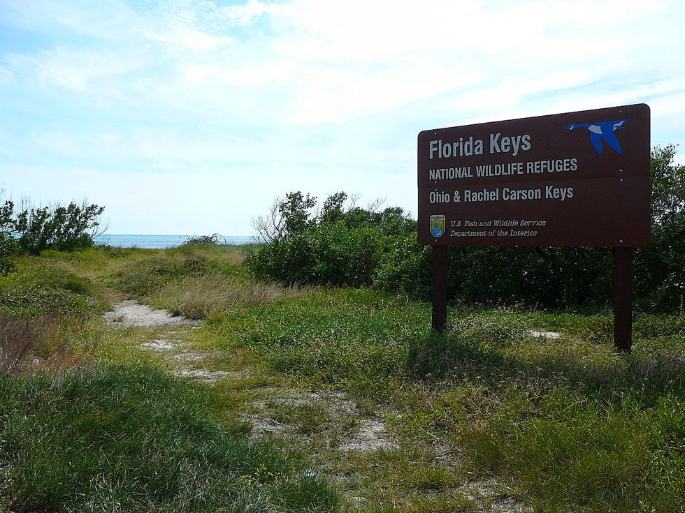
Government scientists this month used new high-tech cameras to shoot a 360-degree view of the ocean in the Florida Keys. The goal: to map and then track coral reefs to see if restoration efforts are working.

It was the first time the cameras have been used in U.S. waters, although they have documented reefs in the Caribbean and Australia. Eventually, they will capture all of South Florida’s reefs, said Billy Causey, of the National Oceanic and Atmospheric Administration’s Office of National Marine Sanctuaries.

“Coral reefs are essential to tourism from the Keys up to Martin County,” he said, so protecting them is vital.

The initiative will have global benefits.

“Florida is a leading region for reef restoration initiatives,” said Richard Vevers, project director of the Catlin Seaview Survey, a nonprofit scientific expedition supported by Catlin Group Limited, an international insurer.

In mid-August, Catlin Seaview joined forces with NOAA to shoot dramatic photos in the Florida Keys National Marine Sanctuary near Key Largo, including pictures of the popular “Christ of the Abyss” statue.

By bringing the camera technology to Florida, scientists hope to fast-track reef recovery programs worldwide.

How? The Keys images will be analyzed by the University of Queensland in Australia, where Catlin Seaview is based. The photos then will be compared to those taken in the future to see if coral reefs have improved or regressed over time.

“From those images, we should be able to evaluate any changes to the reefs, positive or negative,” said Bill Goodwin, resource manager of the Florida Keys National Marine Sanctuary.

Coral reefs are crucial to the overall balance of the oceans, as they provide a habitat to a variety of sea life. They are important to South Florida’s tourism and fishing industries, as they lure thousands of visitors and anglers to this region each year.

Yet there has been a 40 percent worldwide decline in corals in the past 30 years, due to warming oceans, pollution, hurricanes, and overfishing. South Florida’s reefs have been particularly vulnerable to acidification of the ocean, seaborne diseases, and destructive sponges.

On Wednesday, NOAA announced a major initiative to protect coral reefs, which entailed extending protection to 20 coral species under the Endangered Species Act.

For its part, in hopes of restoring order, Catlin Seaview has been employing a basketball-shaped SVII panoramic camera to closely study ocean ecosystems.

The triple-lens camera captures images every three seconds — but only for as long as they are tethered to scuba divers. When the divers head to surface, the cameras are shut down.

Google, a partner in the Catlin Seaview Survey, uses the same technology for street views. Images of earlier expeditions in the Caribbean and Australia already are available via Google Maps, under a special section called “ocean view.”

NOAA officials said among their goals in using the camera is to better educate the public about the nation’s 13 marine sanctuaries and gaining support for restoration programs.

“It’s not only a scientific tool, but also a hugely effective education and outreach tool,” Causey said. “Can you image going into 360-degree theater and getting to experience these reefs without getting wet?”

Photo via WikiCommons

Interested in national news? Sign up for our daily email newsletter!

Four Hurricanes Likely, Say Noted Storm Forecasters

Four Hurricanes Likely, Say Noted Storm Forecasters

By Ken Kaye, Sun Sentinel

FORT LAUDERDALE, Fla. — Storm prognosticators Phil Klotzbach and William Gray still think this will be a slower than normal storm season — but busier than first predicted.

The Colorado State University climatologists now call for 10 named storms, including four hurricanes, with one of those being major.

In April, they forecast nine named storms, including three hurricanes, one major, with sustained winds greater than 110 mph.

They say El Nino, the atmospheric pattern that suppresses storms, is developing slower than expected and the tropical Atlantic has warmed in recent weeks.

The average season sees 12 names storms, including six hurricanes, three major.

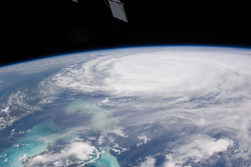
Photo: NASA’s Marshall Space Flight Center via Flickr

NOAA Predicts Somewhat Slower Hurricane Season

NOAA Predicts Somewhat Slower Hurricane Season

By Ken Kaye, Sun Sentinel

Government forecasters on Thursday called for a slightly slower than average storm season with eight to 13 named storms, including three to six hurricanes — with one to two of those being major ones.

The lukewarm outlook assumes El Nino will arrive by the heart of the season in mid-August. Also, sea surface temperatures in the tropical Atlantic are expected to be about average.

Yet the National Oceanic and Atmospheric Administration notes that even during otherwise slow seasons, the U.S. coastline still could be hit by a powerful system.

“The real message is that any section of our coastline can be hit by a severe tropical storm, and a single storm can cause tremendous havoc,” Kathryn Sullivan, NOAA administrator, said during a news conference in Brookyn, N.Y.

El Nino is the large-scale weather pattern that suppresses storm formation by producing strong vertical shear in the upper atmosphere.

As of this month, NOAA placed the odds of it emerging at about 70 percent. However, when, exactly, it might develop and how strong it would get remain question marks.

Hurricane season starts on June 1 and runs through Nov. 30. The average season sees 12 named storms, including six hurricanes, three major, with sustained winds greater than 110 mph.

Gerry Bell, NOAA’s lead hurricane forecaster, said the Atlantic has seen above-normal seasons in 12 of the past 20 years and remains in an era of high activity.

However, he said El Nino is expected to offset the active pattern.

“Atmospheric and oceanic conditions across the tropical Pacific are already taking on some El Niño characteristics,” he said.

“Also, we are currently seeing strong trade winds and wind shear over the tropical Atlantic, and NOAA’s climate models predict these conditions will persist, in part because of El Nino,” he added.

Other forecast teams also call for a slower than normal season.

Phil Klotzbach and William Gray of Colorado State University call for nine named storms, including three hurricanes, one major.

AccuWeather.com predicts 10 named storms, including five hurricanes, two intense. Tropical Storm Risk, based in London, predicts 12 named storms, including five hurricanes.

And Earth Networks, the company behind WeatherBug mobile apps, calls for eight to 12 named storms, including three to five hurricanes, with one to three of those being major ones.

NOAA’s forecast makes no attempt to say how many storms will hit the U.S. coastline or where.

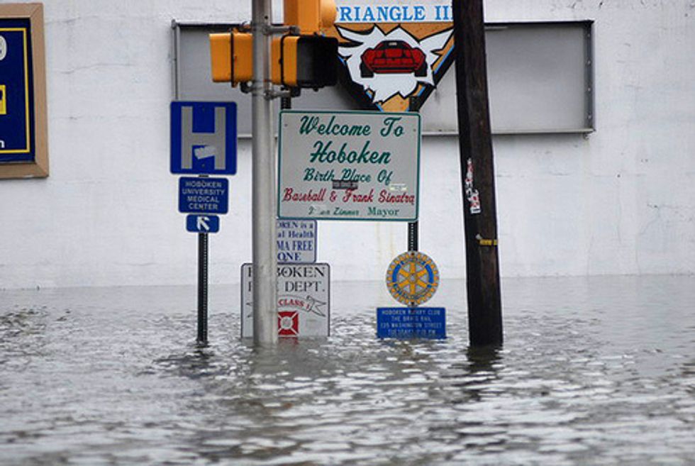
The last hurricane to strike the nation was Isaac, which hit Louisiana in August 2012. In October of that year, Hurricane Sandy transformed to an “extra-tropical” system before it hit the Northeast with hurricane-like conditions.

Photo: acccarrino via Flickr

Want more weather? Sign up for our free daily newsletter. 

Forecasters Predict Slower Than Normal Hurricane Season

Forecasters Predict Slower Than Normal Hurricane Season

By Ken Kaye, Sun Sentinel

FORT LAUDERDALE, Fla. — The 2014 Atlantic hurricane season should be considerably slower than normal with nine named storms, including three hurricanes, Phil Klotzbach and William Gray said Thursday.

The two Colorado State University climatologists say they expect El Nino, the large-scale weather pattern that suppresses storm formation, to emerge by the heart of the season in August. They also note the tropical Atlantic has cooled in the past few months.

“El Nino is coming,” Klotzbach said. “It has the potential to be a strong one, too.”

Of the three hurricanes, they predict only one will be major, with sustained winds greater than 110 mph. The average season sees 12 named storms, including six hurricanes, three major.

As part of their subdued forecast, Klotzbach and Gray predict a 35 percent chance that a hurricane will strike Florida, compared to the long-term average of 51 percent. They also call for a 35 percent chance that a major hurricane will hit the U.S. coastline.

The state has gone a record eight seasons without a hurricane strike, with the last one being Wilma in October 2005.

Klotzbach and Gray in November said they would suspend issuing forecasts, after losing funding from the insurance industry. But only their December outlook was nixed, and now they’re back in business.

“We’ve been scrambling, but I’ve been able to secure a couple of funding sources, enough to put out the forecasts,” Klotzbach said.

Another forecast team, Tropical Storm Risk, based in London, also calls for a slower than normal season, with 12 named storms, including five hurricanes, two intense. It also predicts three tropical storms and one hurricane will make U.S. landfall.

That firm, too, thinks El Nino will subdue the season, along with cooler Atlantic waters.

Both of the forecast teams note that April outlooks hold large uncertainties. Last April, Klotzbach and Gray were among several climatologists who predicted the 2013 would be highly active; they called for 18 named storms including nine hurricanes.

Yet the season was surprisingly tranquil with 14 tropical systems, including two Category 1 hurricanes, neither of which hit the United States.

The National Oceanic and Atmospheric Administration will issue its seasonal outlook in May. Hurricane season starts on June 1 and runs through Nov. 30.

Photo: acccarrino via Flickr